


The IDF today released an annotated aerial map of the Shuja’iya neighborhood in Gaza City showing all of the terror positions located in this residential area.
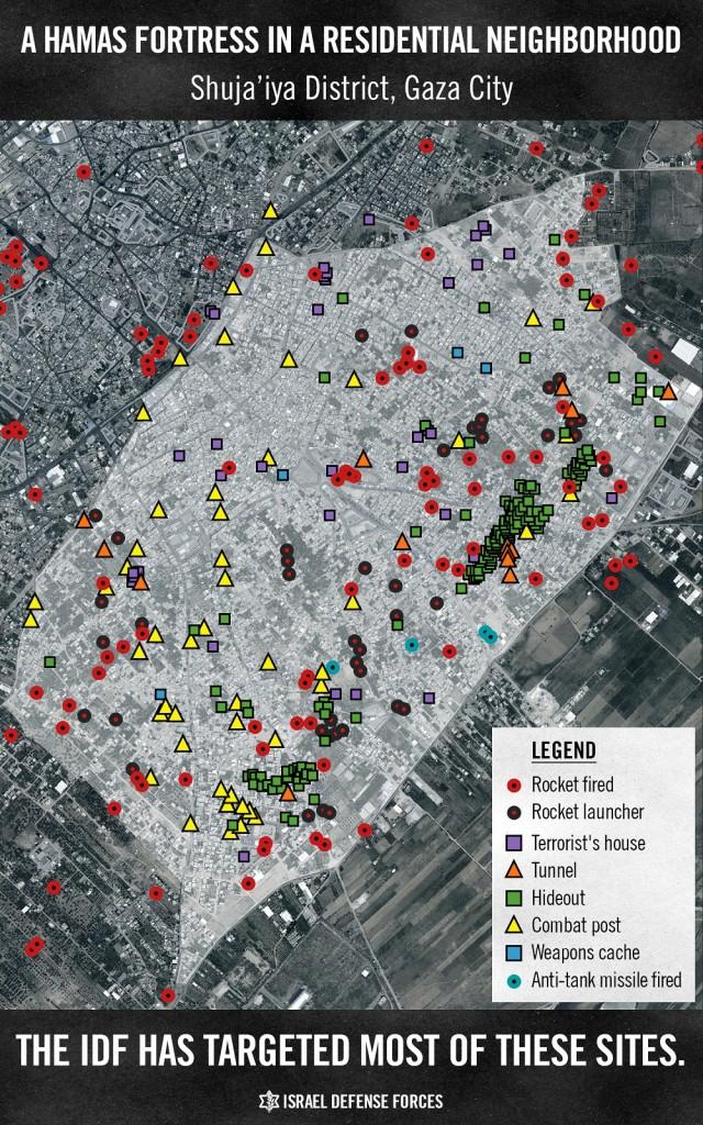
Two weeks ago, in response to 140 rockets fired from that neighborhood, including from locations adjacent to civilian structures, the IDF warned its residents to leave in advance of an attack on the “terror fortress.”
Shuja’iya is a densely populated neighborhood, close to the Karni Crossing and just over the border fence from the Israeli community of Kibbutz Nahal Oz. Since Hamas’ takeover of the Gaza Strip in 2007, it has become a stronghold for Hamas terrorist activity. Shuja’iya is saturated with Hamas observations points and is home to a vast network of tunnels used for attacking Israel. Hamas exploits many of the neighborhood’s mosques as weapons caches as well as launching pits which are used to fire rockets at Israel.
The IDF located at least ten terror tunnels originating in Shuja’iya. The neighborhood is located just across the border from the Israeli kibbutz of Nahal Oz, which last week was the site of an terrorist infiltration that claimed the lives of five soldiers before the terrorists were themselves killed.
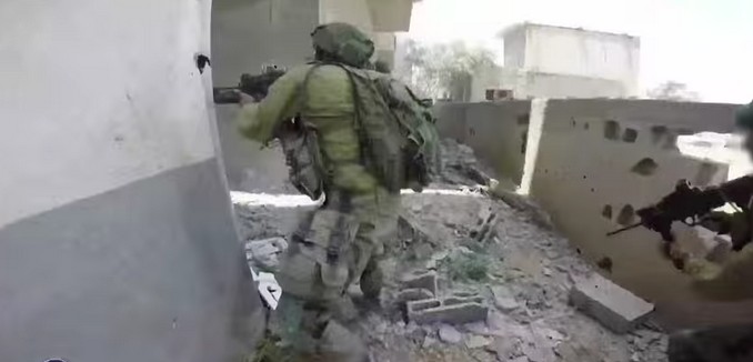
[Photo: idfnadesk / YouTube ]